Áudio tour Urbirun New York - Hudson River & Highline
17 pontos turísticos
- Resumo do áudiopasseio
-
Resumo do áudiopasseio
Distance: 9km/5.6mi to the end of the highline (*12.2km/7.6mi to Times Square, map)
Elevation: flat
Direction: linear, from south to north
Parks/Pedestrian: 7km (ca 75%) (long route, ca 60%)
Urban constraints: low along the short route. New-yorker along the long route.
Start (it's not a loop): Staten Island Ferry (As any urbirun route, you can start whereever you want. Watch for the route direction)
Finish 1: Hudson Yards 9km
Finish 2 Times Square 12.2km
Public transportation: Start at Underground South Ferry Loop Station (line 1) or Whitehall st Station (line R) / Finish 1: Hudson Yards Station/34th (line 7) / Finish 2: Times Square/42th Station (lines S, 1 2 3, 7 7X, N Q R) or 42st/Bryant Park (lines B D F M)
Along this route, you'll discover the west side of Manhattan. Running along the Hudson river, you'll cross the Meatpacking district and Chelsea, follow along the Highline pedestrian promenade, and finish in the heart of New York city, Times Square.
*Alternative route: 9km to the end of the Highline or 12km to Times square (map)
NB: if unsure, please check the map and your position - 1 Statue of Liberty
- 2 Battery Park
- 3 9/11 Memorial
- 4 One World Trade Center
- 5 Hudson River
- 6 Pier 40
- 7 Meatpacking District
- 8 Chelsea
- 9 Highline
- 10 West Side Yards
- 11 James Farley Post Office
- 12 Madison Square Garden
- 13 Empire State Building
- 14 5th Avenue
- 15 The New York Public Library
- 16 Bryant Park
- 17 Times Square
-
Resumo do áudiopasseio
Distance: 9km/5.6mi to the end of the highline (*12.2km/7.6mi to Times Square, map)
Elevation: flat
Direction: linear, from south to north
Parks/Pedestrian: 7km (ca 75%) (long route, ca 60%)
Urban constraints: low along the short route. New-yorker along the long route.
Start (it's not a loop): Staten Island Ferry (As any urbirun route, you can start whereever you want. Watch for the route direction)
Finish 1: Hudson Yards 9km
Finish 2 Times Square 12.2km
Public transportation: Start at Underground South Ferry Loop Station (line 1) or Whitehall st Station (line R) / Finish 1: Hudson Yards Station/34th (line 7) / Finish 2: Times Square/42th Station (lines S, 1 2 3, 7 7X, N Q R) or 42st/Bryant Park (lines B D F M)
Along this route, you'll discover the west side of Manhattan. Running along the Hudson river, you'll cross the Meatpacking district and Chelsea, follow along the Highline pedestrian promenade, and finish in the heart of New York city, Times Square.
*Alternative route: 9km to the end of the Highline or 12km to Times square (map)
NB: if unsure, please check the map and your position
Análises
Nenhum comentário ainda
Escreva a primeira análise- Ainda não há comentários. Seja o primeiro a avaliar!
Baixe o aplicativo gratuito izi.TRAVEL
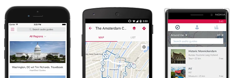
Crie seus próprios tours em áudio!
O uso do sistema e do aplicativo de guia móvel é gratuito